Site Context

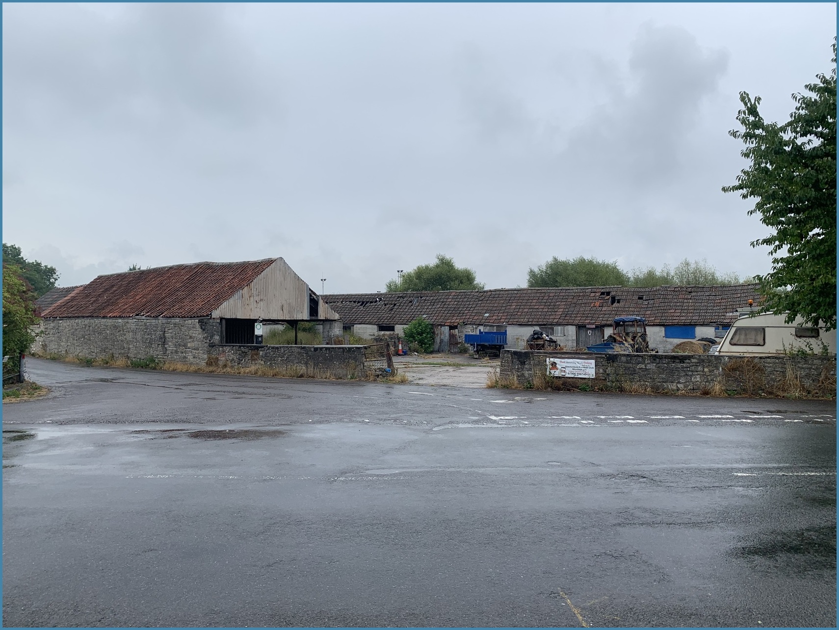
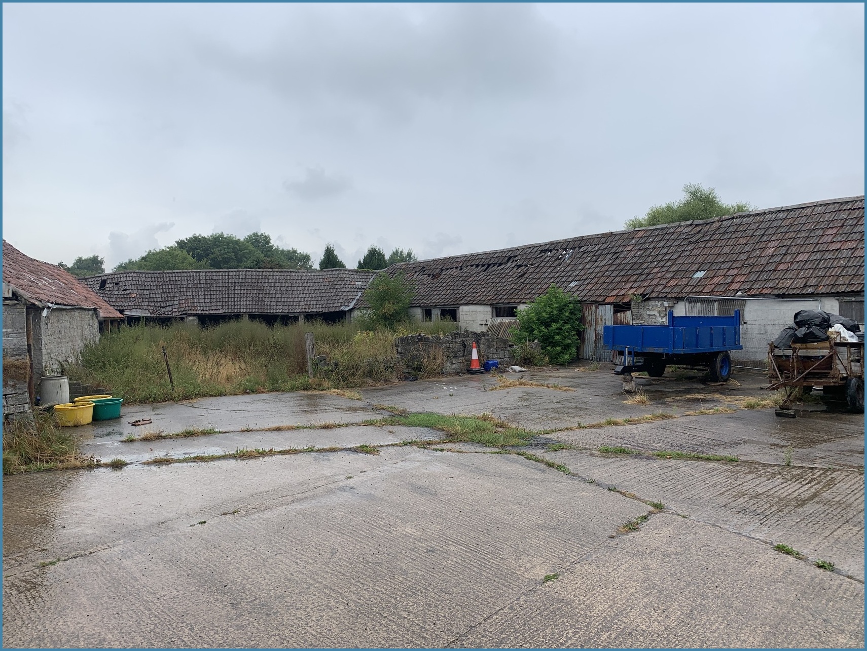
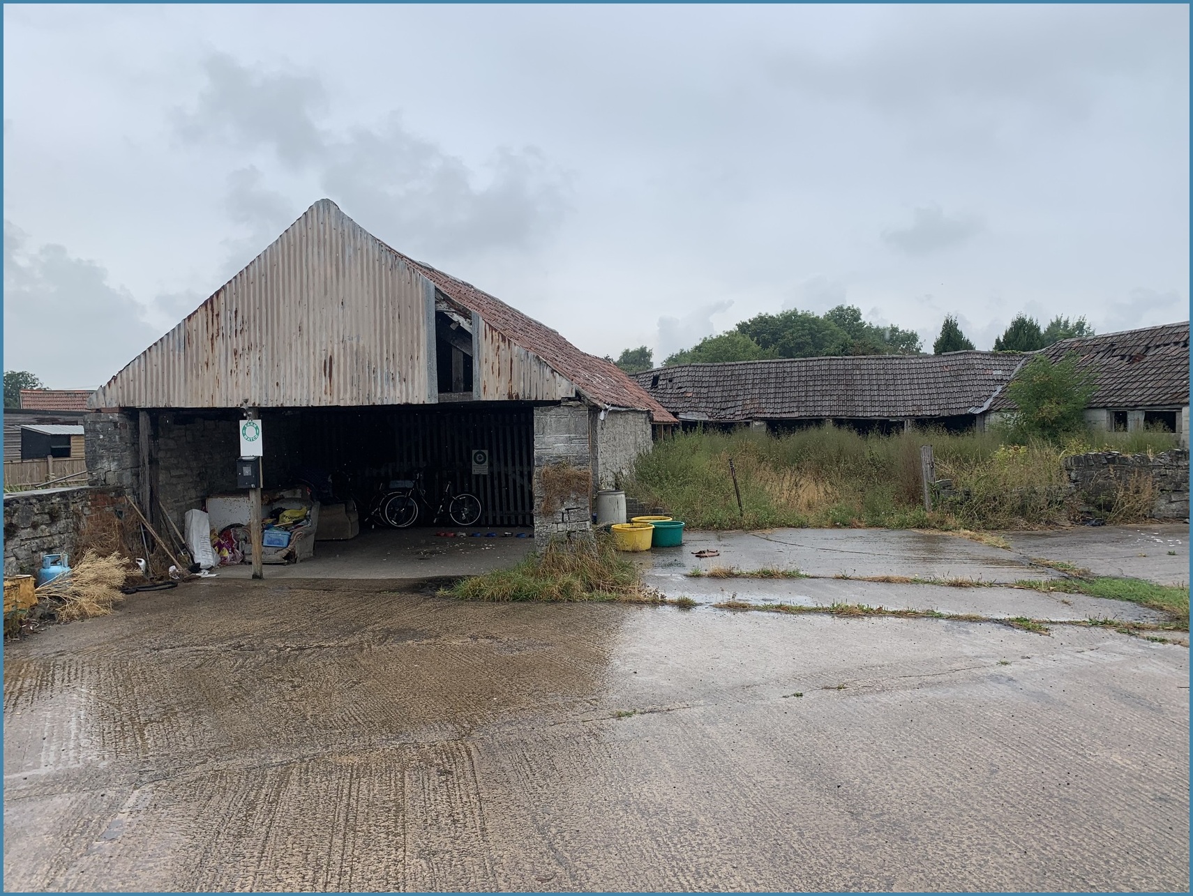
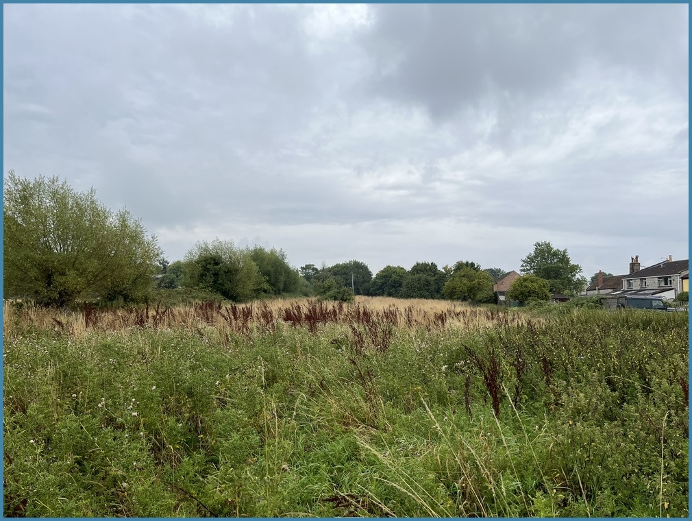
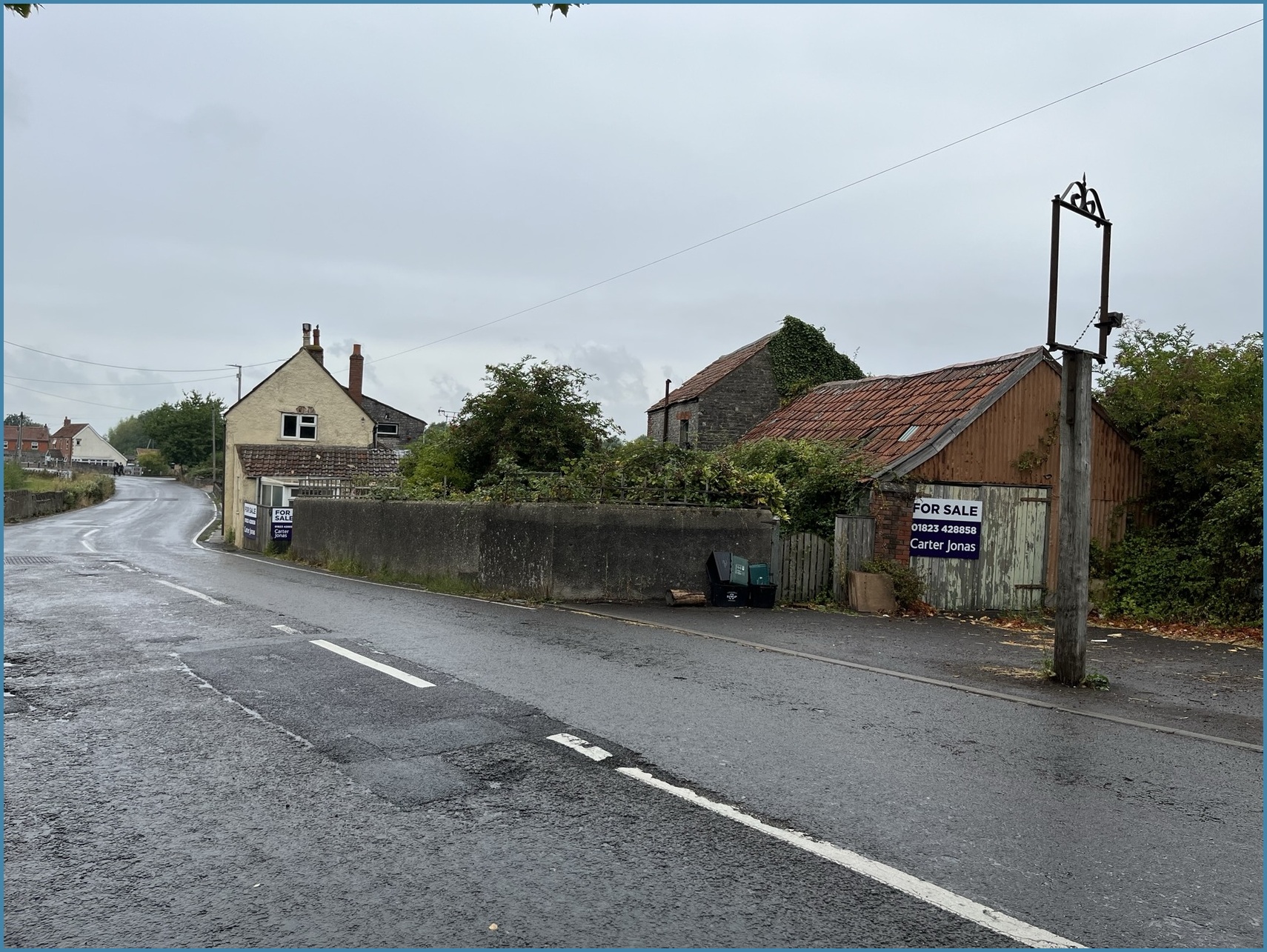
The Site has an area of 1.05 hectares, being located to the north west of Glastonbury, adjacent to the settlement edge. The Site is predominantly redundant pasture associated with the former Northload Bridge Farm. The original farm building complex is located at the north western corner of the Site, and which consists of a number of single storey buildings.
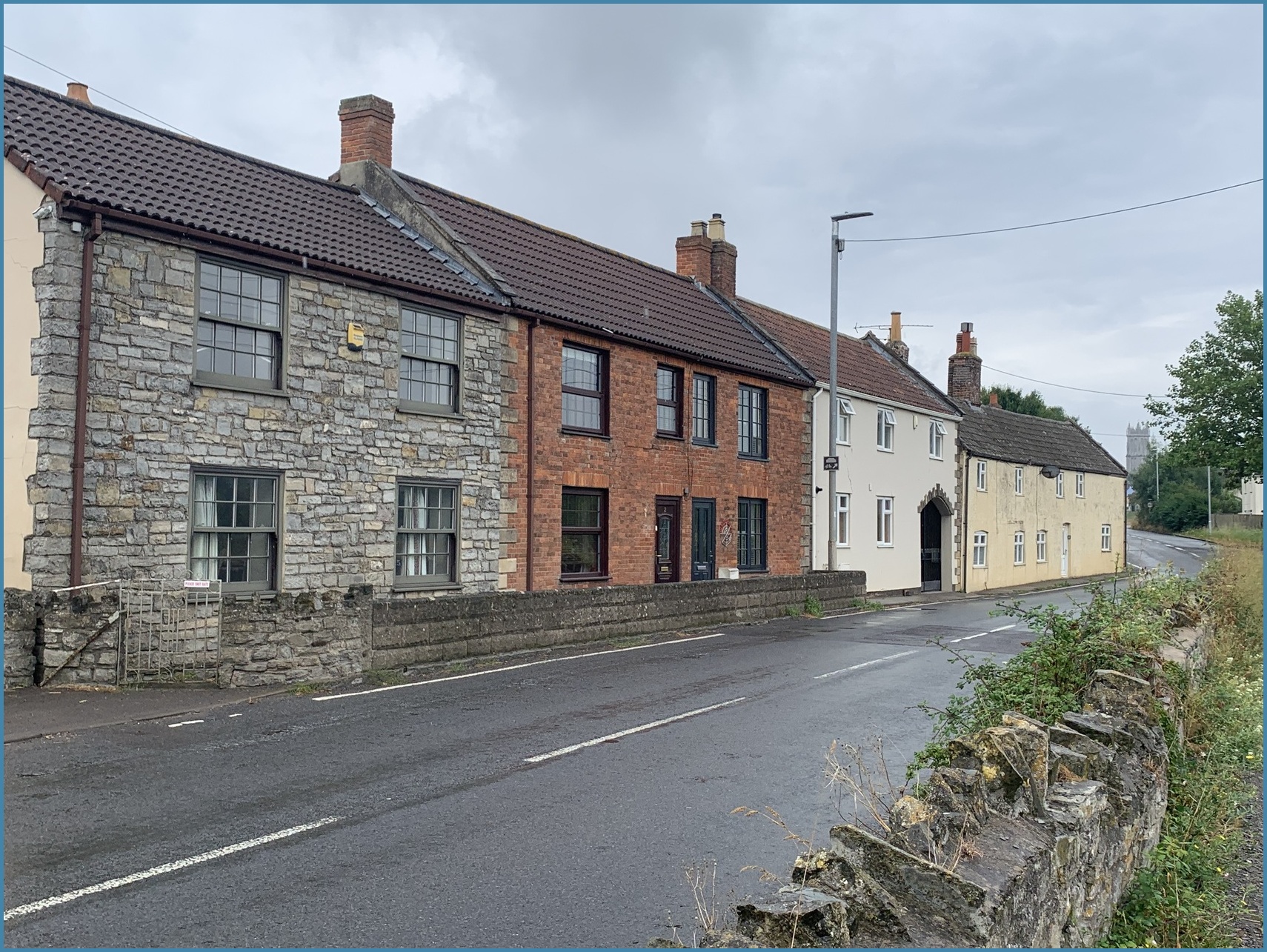
The complex of former farm buildings is at the junction of Godney Road and Northload Bridge (B3151). To the south east is a row of houses that front onto Northload Bridge. Adjacent to these houses, the Site maintains a direct frontage on Northload Bridge. The remainder of the Site extends beyond the aforementioned buildings in a north easterly direction, where it forms a boundary with orchard land associated with Glastonbury Reclamation Yard.
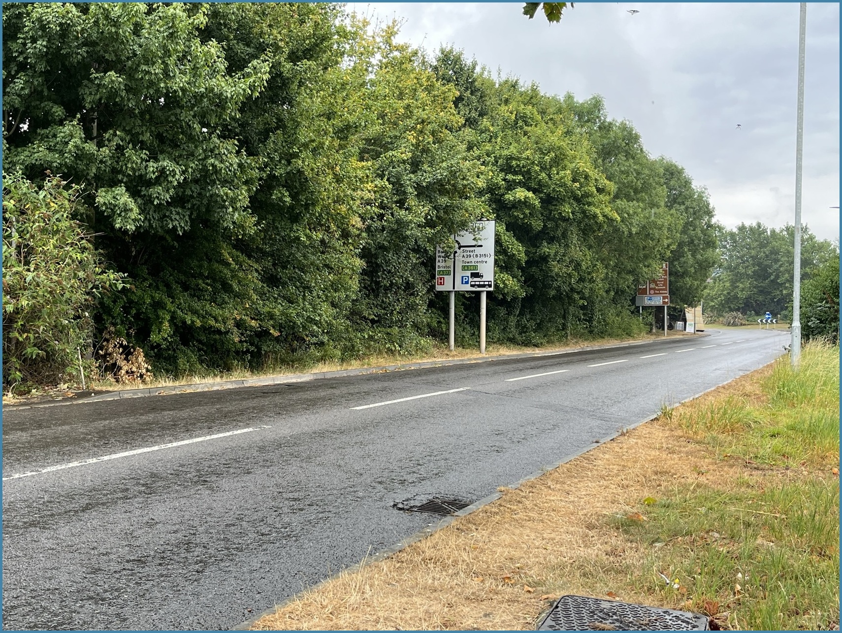
Beyond the orchard is a relatively new housing estate. To the north of the Site is Glastonbury Football Club and also a motorcycle training centre. To the west of the site, beyond Northload Bridge is an open area of rough pasture land. To the south west of the Site is Glastonbury town centre, which is less than a ten-minute walk away.